Tidelines – it is spelled both ways but I prefer the one-word form.
A tideline, according to Wikipedia,
refers to where two currents in the ocean converge (or meet). Driftwood, floating seaweed, foam, and other floating debris may accumulate, forming sinuous lines called tidelines.
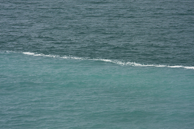 The topic of this article came about after I saw the photo above.The photo actually shows two oceans meeting, but is similar to what happens with the tides on the ocean further south, especially with reference to the Pacific Ocean on the Canadian British Columbia (BC) coast where the tides change (from high to low and back again) twice a day – sometimes rising and falling by as much as seven (7) meters (22 feet)!
In a narrow channel on the coast the ocean will actually reverse and flow in the other direction when the tide changes (rises or falls). At the time of the tide change water flow comes to a stop, reverses, and flows in the opposite direction. This means that large masses of water collide and form a line in the water – a tideline.
The line as mentioned above, is usually delineated by foam and numerous other drifting objects such as seaweed, and in this day and age, plastic objects.
The reason I like tidelines is the same for all ocean goers – it’s where you catch fish! If the above line was on the ocean one would troll along one side of the line and catch fish – trolling on the other side of the line brought nothing! It has something to do with one water flow bringing food, and the other side bringing nothing.
Tidelines are inconsistent and vary depending on weather, tide, and time of year.but when there is a tide change, that is when us fishermen want to be on the water. The best tide change is when the water flows from low to high.
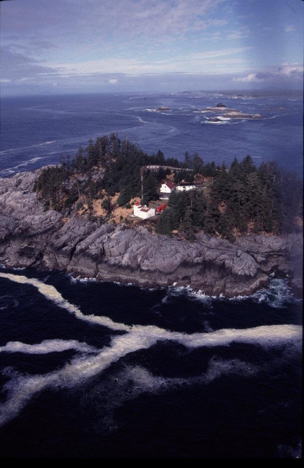
Good fishing is not the only benefit derived from observing tidelines. The photo above shows my old lighthouse at McInnes Island, and it also shows the tidelines (foam lines) in front of the island which I mentioned in my story Glass Balls – The Dream of Every Beachcomber. During the early Spring westerly winds we used to daily follow these tidelines with our binoculars and later with our boats looking for drifting glass balls, lumber and other useable materials. It was like a conveyor belt of flotsam and garbage from Asia!
Unfortunately after the March 11, 2011 magnitude 9.0 earthquake in Japan, and the resulting tsunami, a lot of this garbage is just that – garbage from the Japanese homeland, making it harder to find “the good stuff”!
*******************************
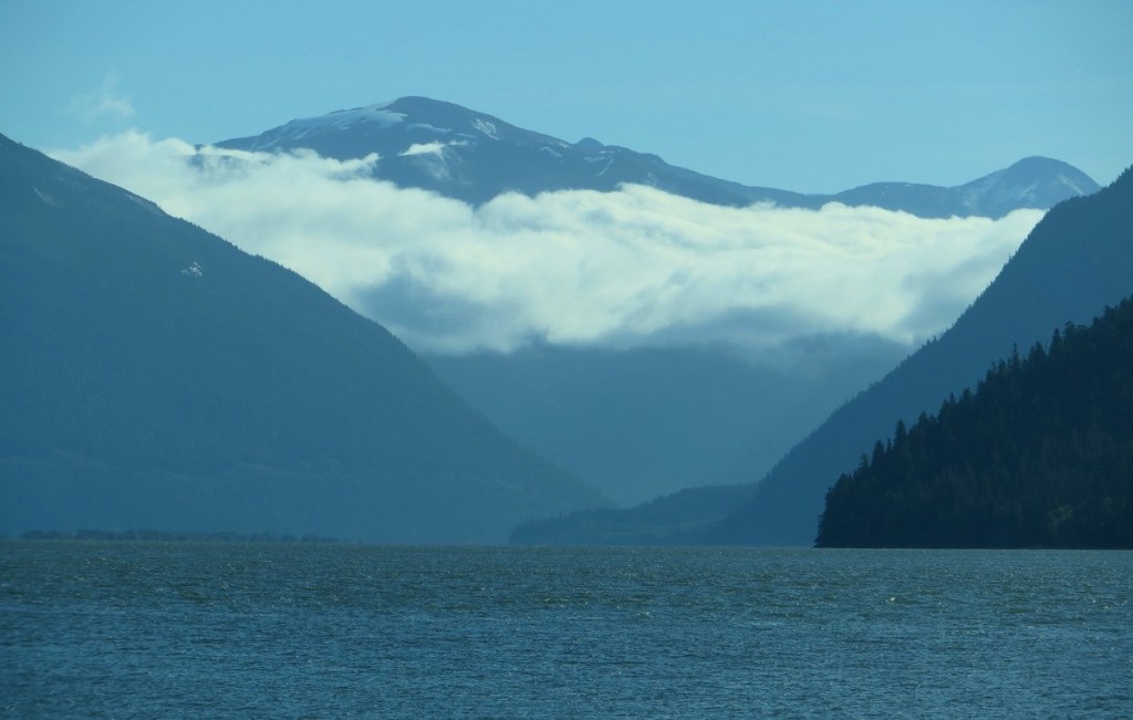
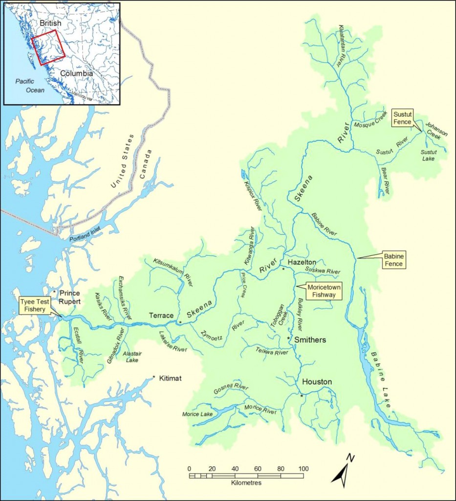
Another tideline is formed when a river meets the ocean as in the example above where the Skeena River in northern BC meets the Pacific Ocean. The less dense fresh water from the river meets the denser seawater and creates a tideline as you can see above. This is also a good fishing area!
As the ocean rises at high tide the less dense fresh water from the river flows over the heavier salt water, but the tide keeps rising, so the heavier salt water flows under the fresh river water and pushes onward up the river bed. The Skeena is so shallow and wide that the tide actually raises the water level in the river and the tidal effect can be felt past the town of Terrace, thirty-five (35) kilometers upriver from the mouth of the Skeena. It is quite a phenomenon to see!
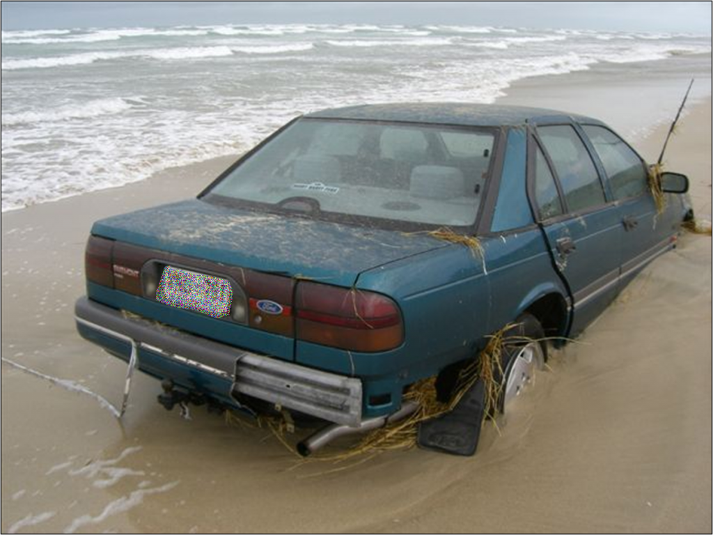
Unfortunately for fishermen visitors to the area who do not know about the rising of the river due to the rising tides thirty-five (35) kilometers west, and who actually venture out onto the river sandbars to fish, they usually end up in trouble like the people below!
