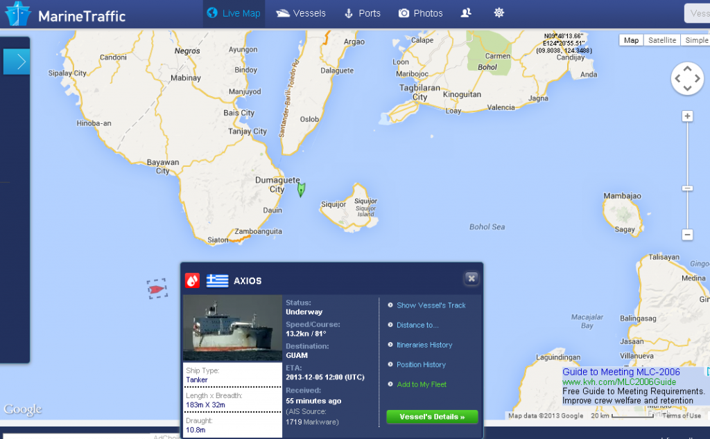
Ship Movements – It Keeps Getting Better!
On August 08, 2013 I wrote Canadian Firm Tracks Earth’s Ships From Space which also refers to another 2012 article What Ship Is That? Now we have an even better program, free, and online, called Marine Traffic.
The screen shot above of Marine Traffic for 05:30 UTC (Z) for November 30, 2013 shows the freighter Axios (bottom left) off my area, Negros Oriental Island, Philippines, heading for Guam.
With this free program you can locate ships in your area, determine their destination, speed, nationality, etc., and even see a photo of the ship.
The program shows Vessels, Ports, Lights, and Aerial Photos of the ports. The “Lights” portion lists and shows photos of navigation lights and lighthouses in the areas.
If one is interested in the sea, vessel traffic, ships, lights, or just navigation, this program is for you. Please take a look here at MarineTraffic.com.
